I decided late in the week to go to Tell City because the Pour Haus pub there had been on my mind lately. Not that it’s particularly noteworthy—it’s just how this particular day-trip itch popped up for me. So with a few episodes of The Emerald loaded up, I headed south.
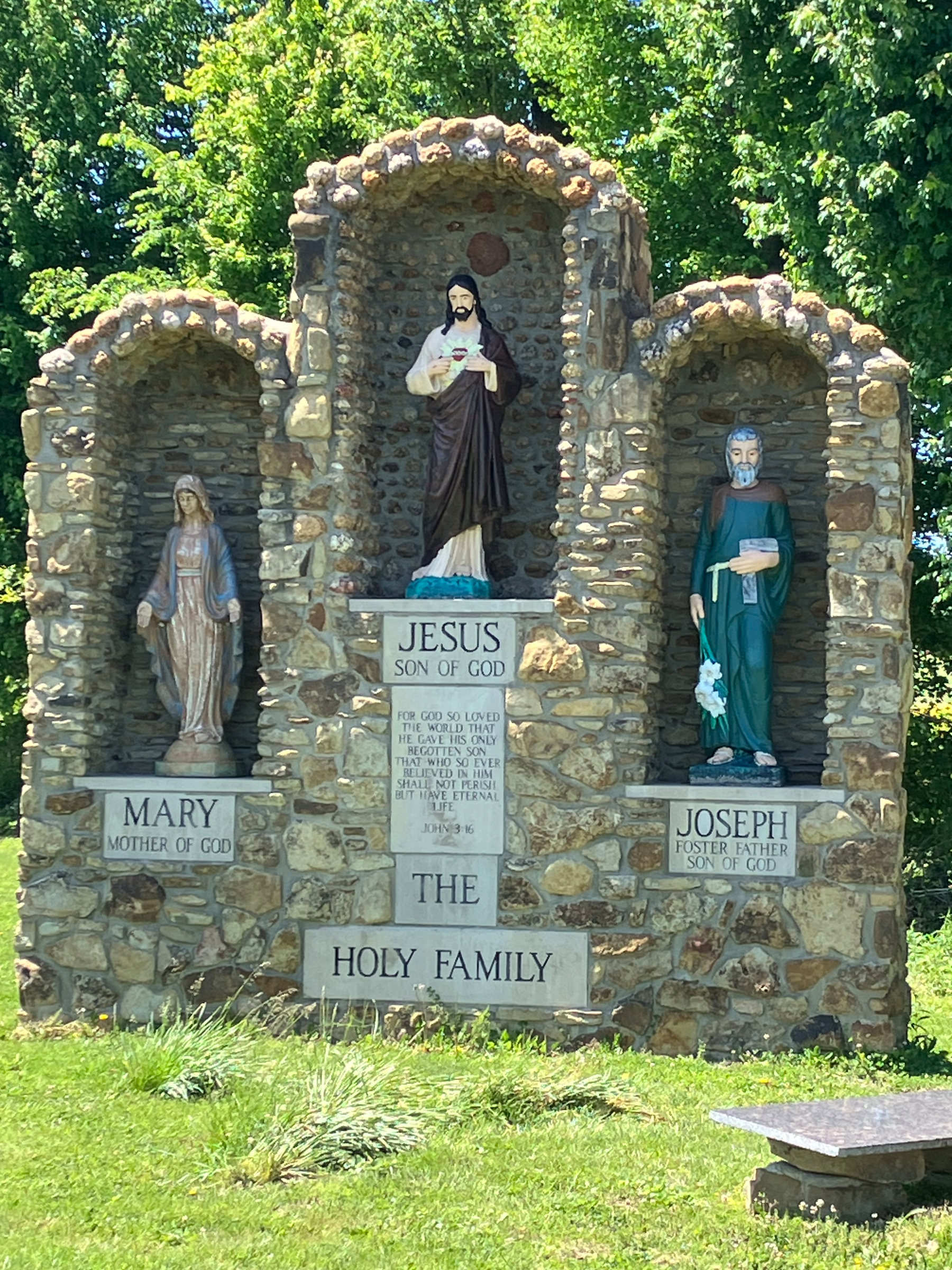
After brief visits at family graves, I stopped first at Saint Joseph’s Holy Family near Bristow. It’s a wonderful folk shrine that I’ll definitely be visiting again when I can walk it more slowly.
The dark chthonic waters – essentially ancestral waters – rise from the unseen land of the dead into light and become visible. This process is controlled by ancestral agency, the waters becoming a medium through which ancestral presence surfaces and circulates. (Mark Nemglan)
The part of southern Indiana I belong to is characterized by karst topography, where water flows through soluble limestone and forms sinkholes and caves. Sometimes the water even disappears underground in what is called a sinking stream.
I need to get outside today. Rachel and I are going to take a walk this morning, then I’m going to doing some berry picking. Also, I’ve been thinking about the Lost River lately so I think I’ll visit the Orangeville Rise and the Wesley Chapel Gulf today.
Today I learned that the East Fork of the White River (which runs south of town) is called Aankwaahsakwa Siipiiwi by the Miami people. This translates to “Driftwood River”–which is a far better name that East Fork of the White River!
Roadside shrine near Medora, IN
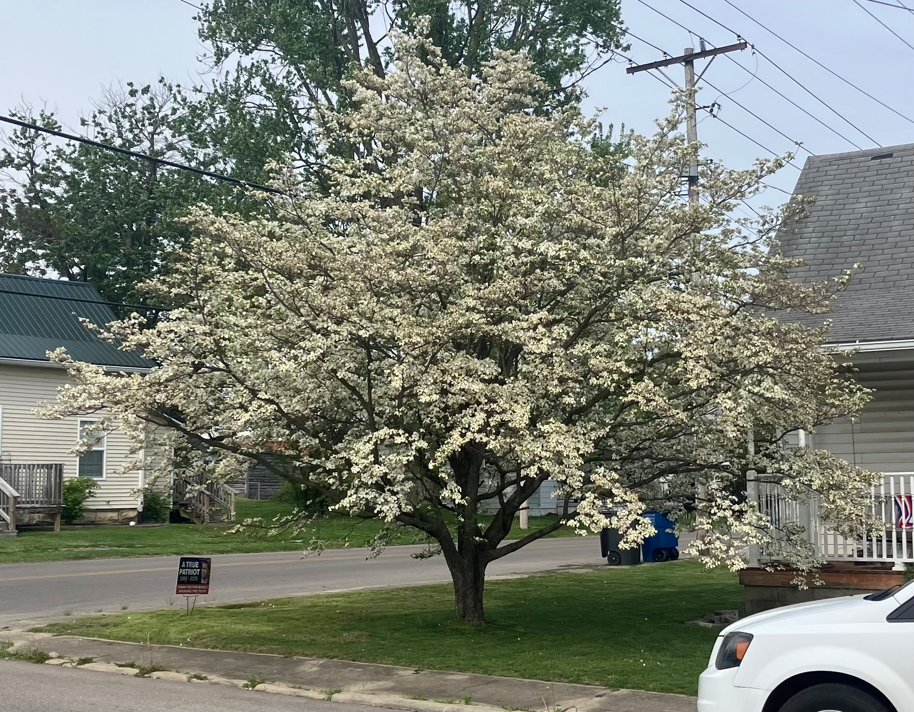
One of the prettiest dogwoods I’ve ever seen, across the street from the credit union.
Cherry blossoms are nice, for sure, but have you ever seen a redbud luminous on a karst hillside?
We’re on the edge of most winter storms here. In Indiana, winter storms tend to include all of northern Indiana down to Indianapolis. Often they’ll hit Bloomington–only sometimes Bedford. If the Midwest is characterized by winter storms, we’re barely Midwestern. We’re expecting 1-3" tonight.
I’ve accepted an invitation to join the finance committee of my local community foundation in January. Can’t be much of a localist without putting in some practice.